☰ MENU
×
Project History
Pumping Stations
Earthen Levee
Closure Structures
Flood Wall
River & Weather Monitoring
Operations Center
Map
Brochures
Flood History
Contact
Susquehanna River
Loading water level...
Shamokin Creek
Loading water level...
HIGH WATER OPERATING LEVELS
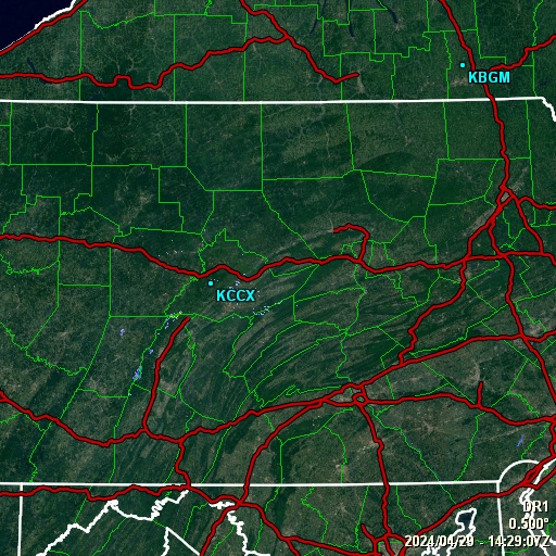
REAL-TIME RADAR
WEATHER & RIVER FORECAST